Find the Right Locations
and Avoid Obstacles
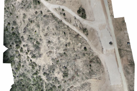
Using the latest software and automated flight technology we are able to capture and create high resolution, low-altitude orthomosaic maps that you can use for a variety of purposes.
How Can Orthomosaic
Mapping Benefit My Business?
These provide a high-resolution, accurate representation of everything on the ground. Because of this level of detail, these orthomosaics can be used to measure true distances. As a result you can do a variety of things such as measure large swathes of land, monitor crops, count cattle, measure distances accurately, inspections, and can even be used for legal proceedings and court cases.
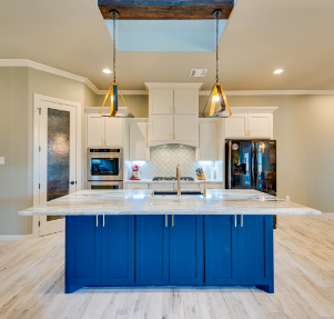
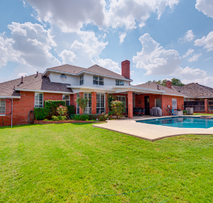
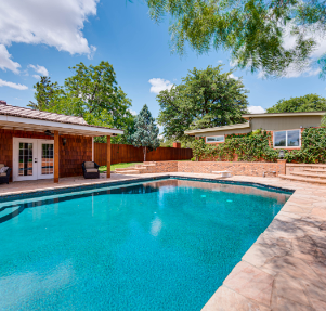
Choosing us saves you time that you can offer to your clients, saves you money and frustration, makes selling the home easier, and gives your listings quality that is sure to earn you more clients. Show your clients that you’re willing to go above and beyond for them to sell their homes. Choosing us will put the listing in it’s best light. A listing that looks top dollar sells for top dollar.
Examples
What Our Clients Say
We love working with Flight Brothers Drones. They are professional and really know what they are doing. If you want good, professional looking drone footage you won’t find anyone better than Flight Brothers Drones.”


